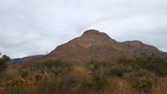
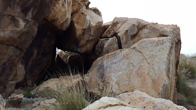
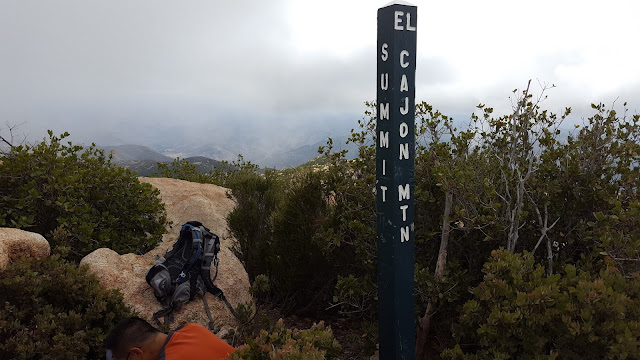
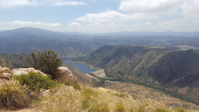
Henry Chen joined me for an assault on El Cajon Mountain in San Diego. The main trail is about 11 miles RT, but we hiked up the south arete, a shorter, steeper class 3 route. El Cajon is notoriously hot, but the cool May gray made perfect weather for our attempt. The ridge gains about 2000' in 1.25 miles. There is a good use trail about half way up the ridge to what the locals call "lunch rock". After that, you mostly have to do your own route finding through boulders and brush. At one critical point, we could have continued straight up the rock or traversed into a wide gully. We took the gully, but I'm not sure that was the best choice. About 80' below the top, we wandered too far left and got cliffed out. We backtracked and found a use trail to take us to the plateau. Another mile on a trail got us to the summit of El Cajon, mostly covered in clouds. The clouds started to burn off as we descended. We picked a better line on the way down but still had some moderate bushwhacking to do.
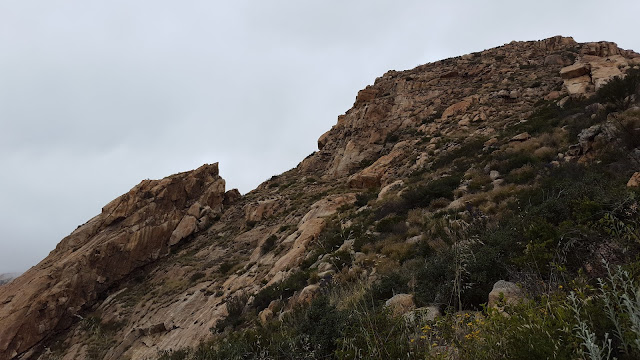
El Cajon Mountain, the south arete is along the left ridge
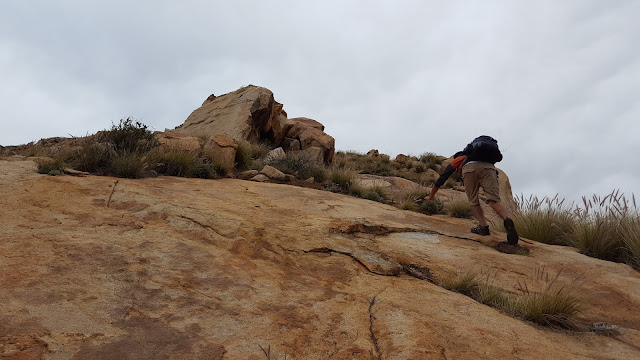
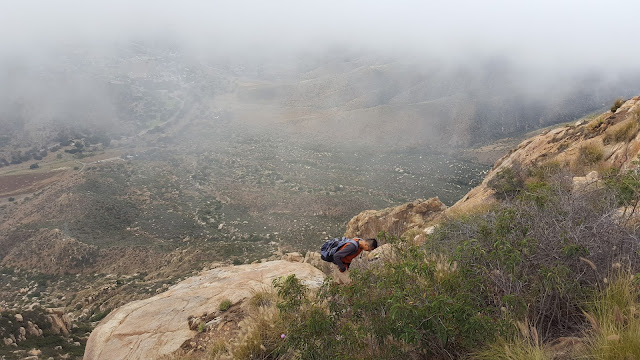
Henry climbing a slab
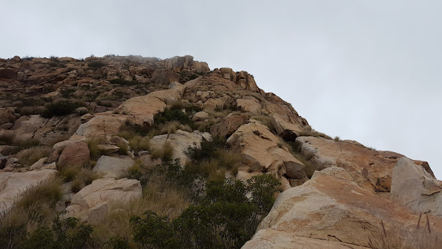
Lunch rock
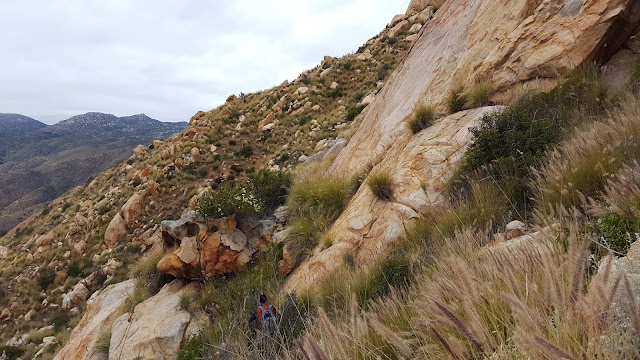
Traversing left into the large, brushy gully
Window rock, about 50' thick and several hundred feet long