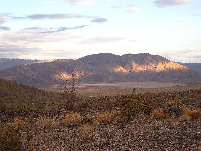
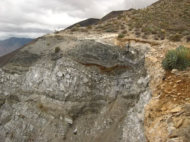
To make a long story short, this hike was awesome! It was physically exhausting but the views, which went on and on, made up for it. The entire hike is along a ridge, so you get great views of Clark Valley, the Borrego Badlands and the Salton Sea nearly all the time. It feels like you're a lot higher up than you really are because the views extend so far out without any obstructions. The geology of this area is also fascinating. The surrounding mountains rise very abruptly from the perfectly flat desert floor. The landscape is filled with contrasting colors and textures and there is an impressively huge escarpment displaying various rock layers which I wish I understood better.
Another bonus is the relative isolation. Other than the Coachella Valley, I couldn't see any signs of large scale human activity for miles. I didn't even hear any dirt bikes or ATVs. Not another soul was on the mountain and according to Rabbit Peak's register, I was the first one to visit that peak in over a month. This is probably because it's been too hot but this was a nice change from our overused local mountains. Everything was so pristine--no graffiti, no trash, not even much of a trail.
The only exception was someone had glued reflector dots on some of the ocotillo plants. I would have taken then off but I was in a hurry to get down. I'm not a very fast hiker and I spent a lot of time taking pictures and admiring everything so I was very late getting back to my car. I had given my family a 10:00pm deadline to call SAR if I didn't check-in. I stumbled back to my car at 9:20pm but I still needed to drive several miles out to get cell coverage. I did manage to check-in before 10:00 but next time I've got to set a later check-in time or get off these mountains sooner.
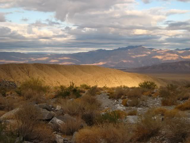
Coyote Mountains in the distance:
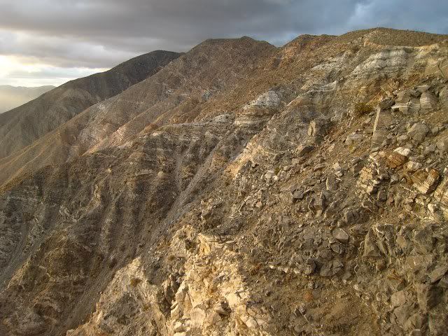
Lute Ridge:
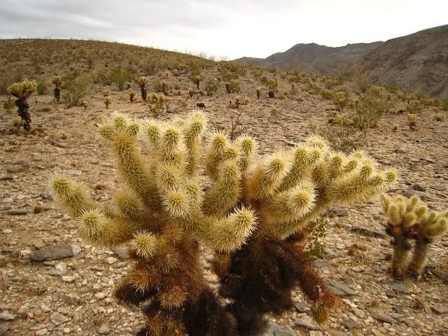
Field of angry Teddy Bear Cholla (these guys release little cholla balls from their stems that roam around looking for victims):
This is either a swimming seal or a smiling dodo bird:
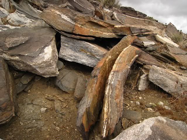
Interesting rocks. I wish I had studied geology in school.
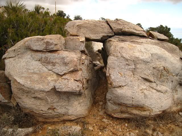
Mini Stonehenge:
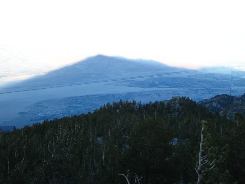
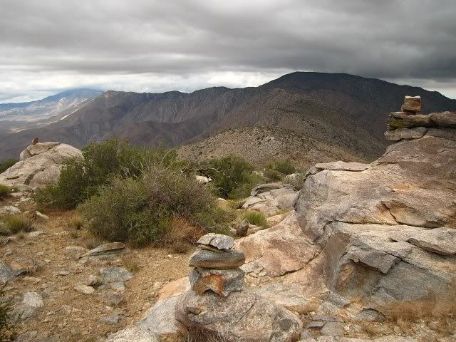
OK, which cairn do I follow? View of Rabbit Peak from Villager.
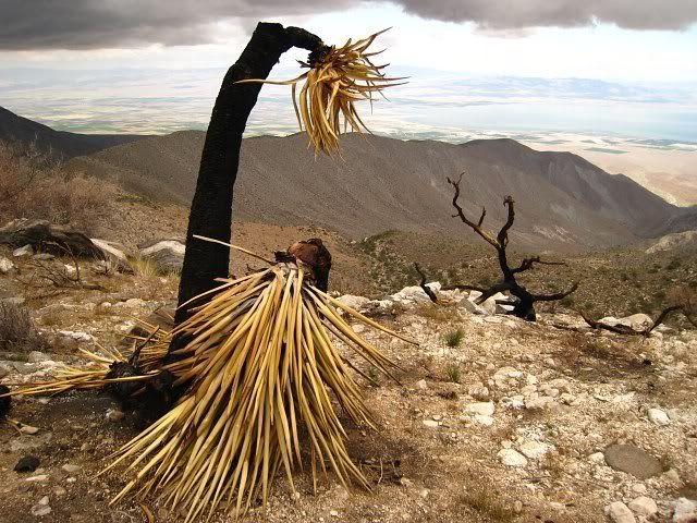
Burn area at the first saddle below Villager on the way to Rabbit:
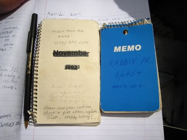
The 1992 notebook held 8 years worth of entries!
More cool rock formations:
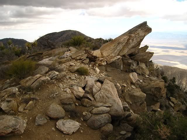
The impressive escarpment:
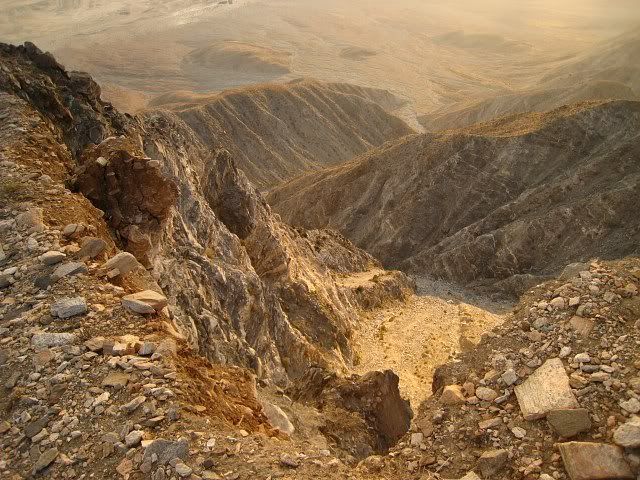
Rock layers:
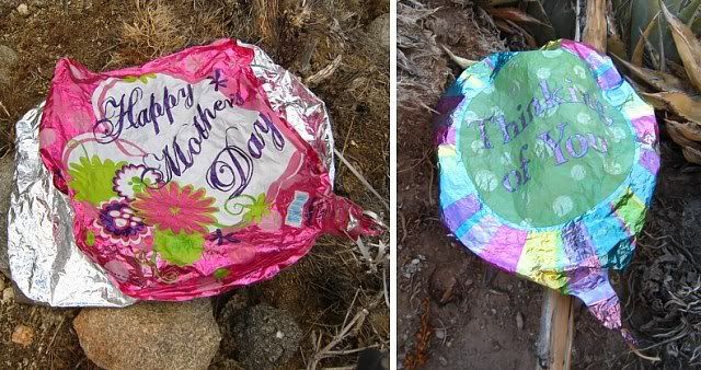
Found and removed two mylar balloons: