
All was well this time. He took pics, as my new, non-gigantic camera hasn't yet arrived in ze mail.
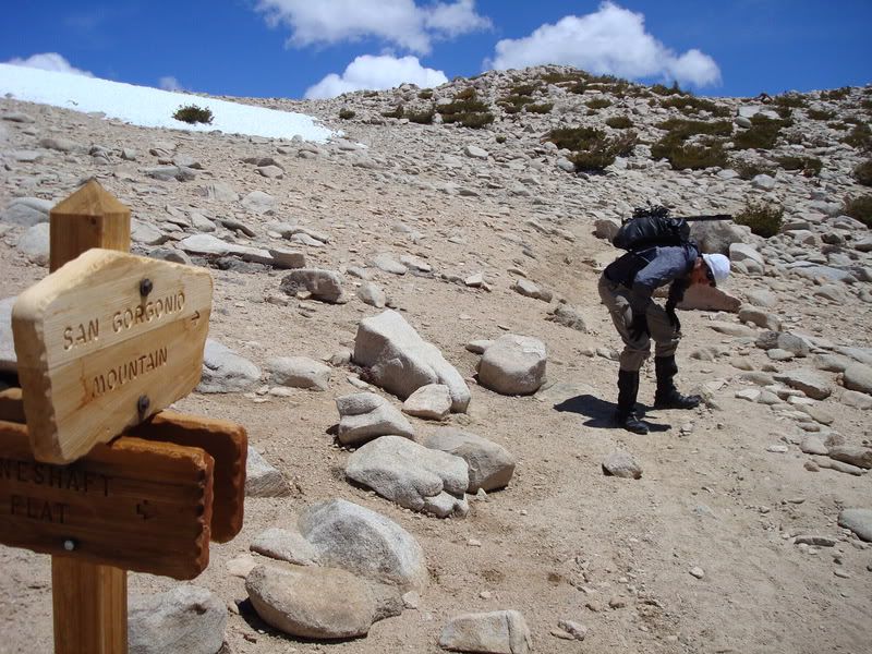
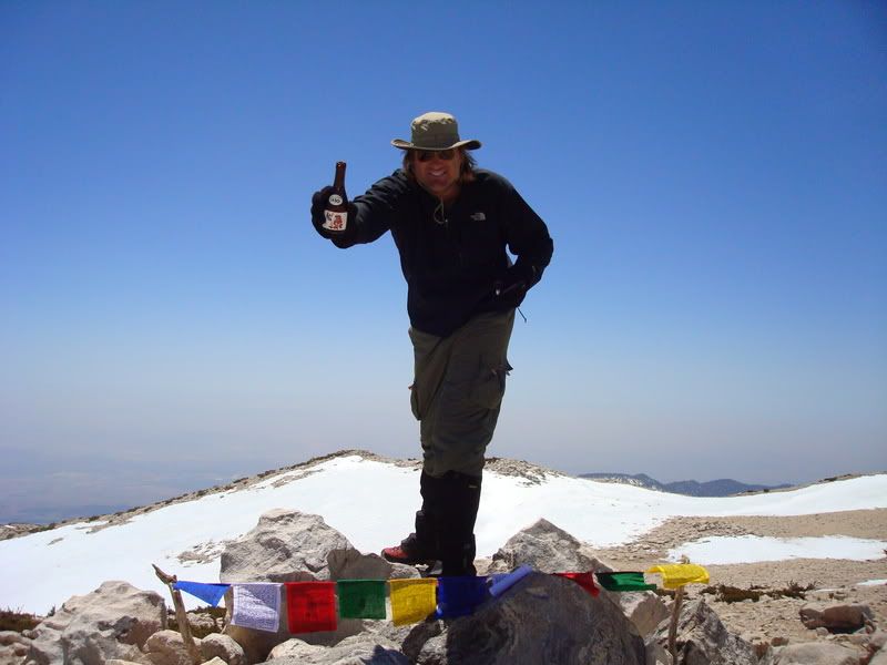
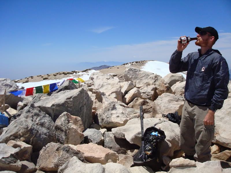
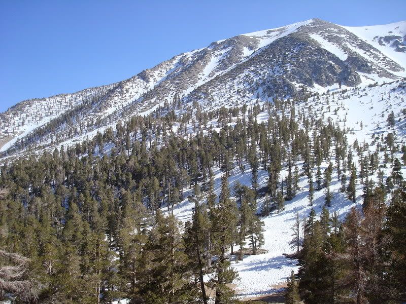
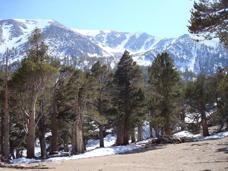
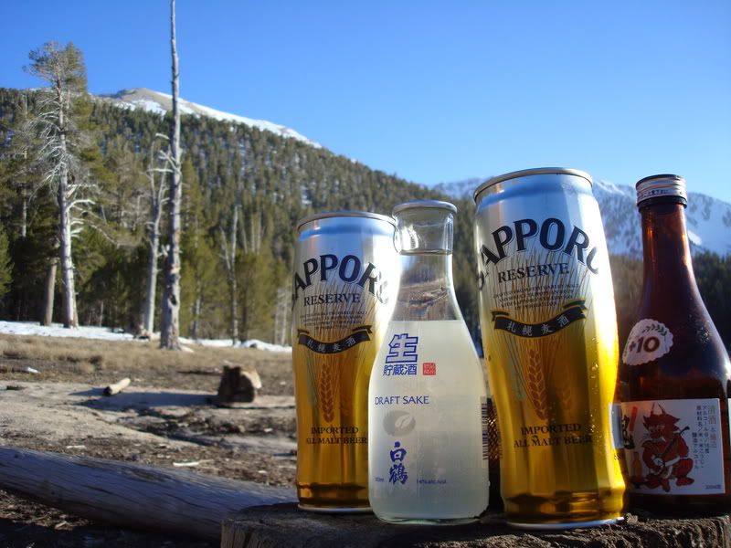
Went from South Fork, up to Dry Lake. Camped, drank our beer (Sapporo) and sake (Hakutsuru, filtered, not Nigori), and had our meals. Woke up, ate a bit and had some tea. We wanted to do Jepson Peak's North Ridge, but we ended up going for San G's North Ridge instead.
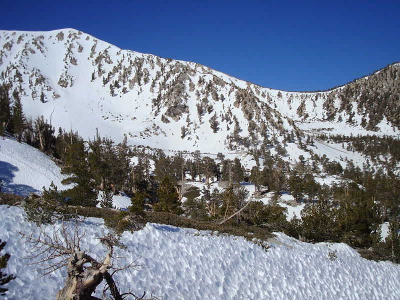
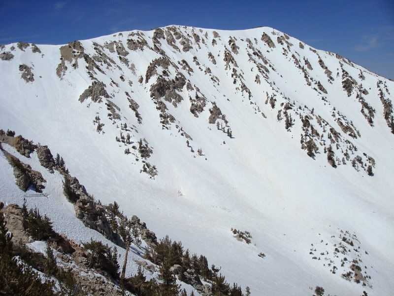
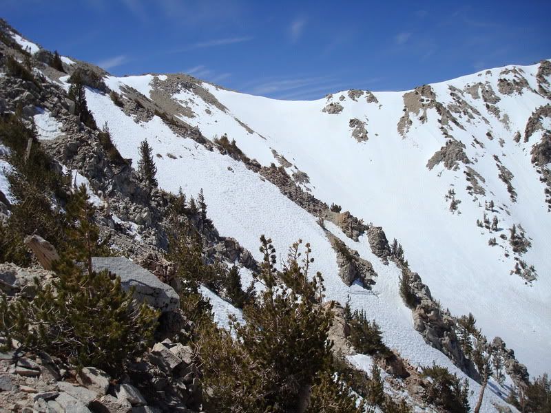
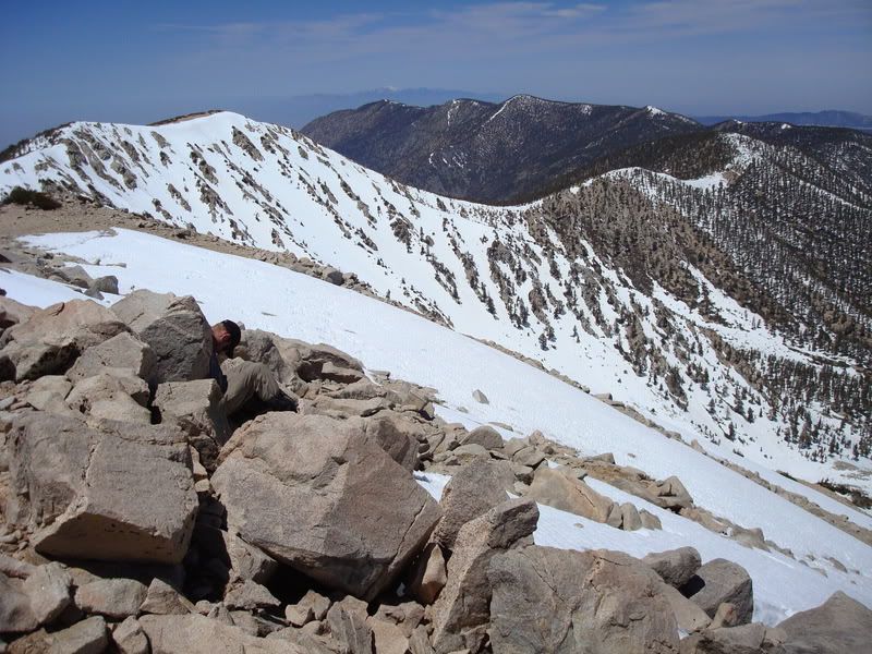
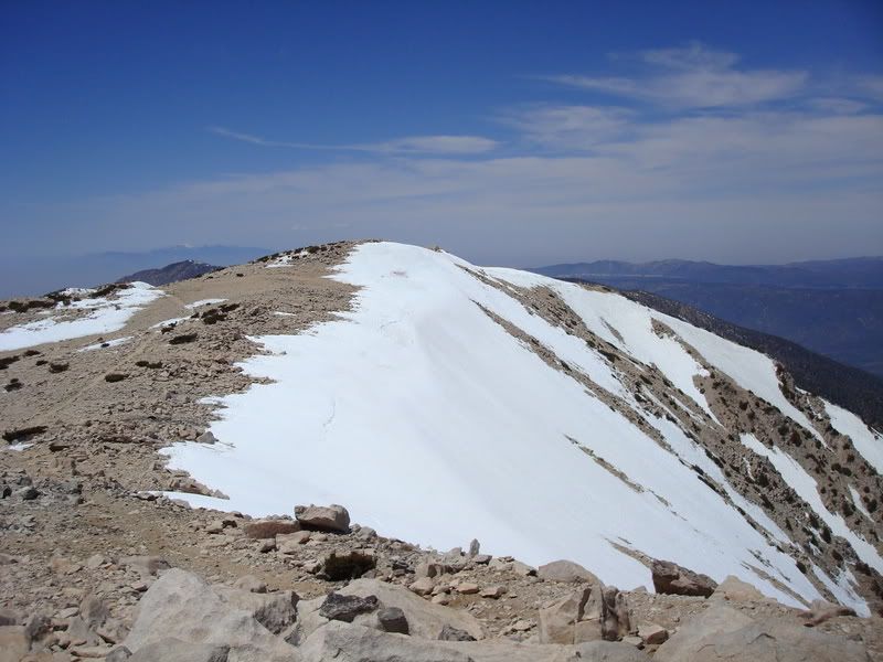
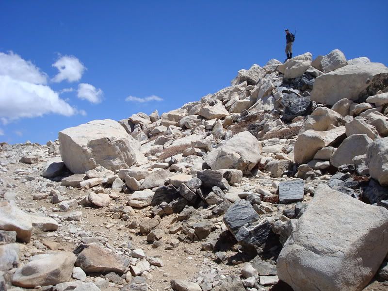
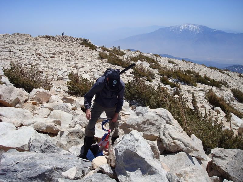
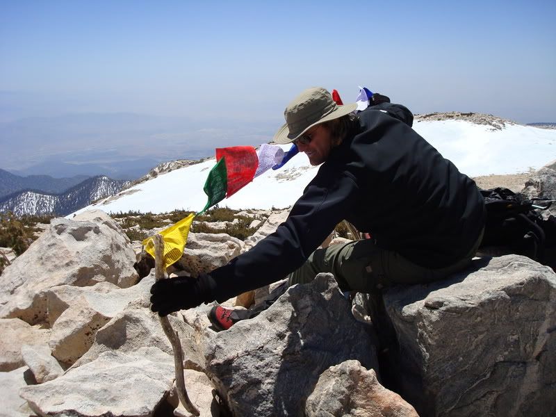
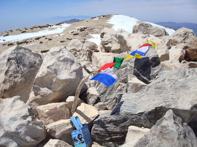
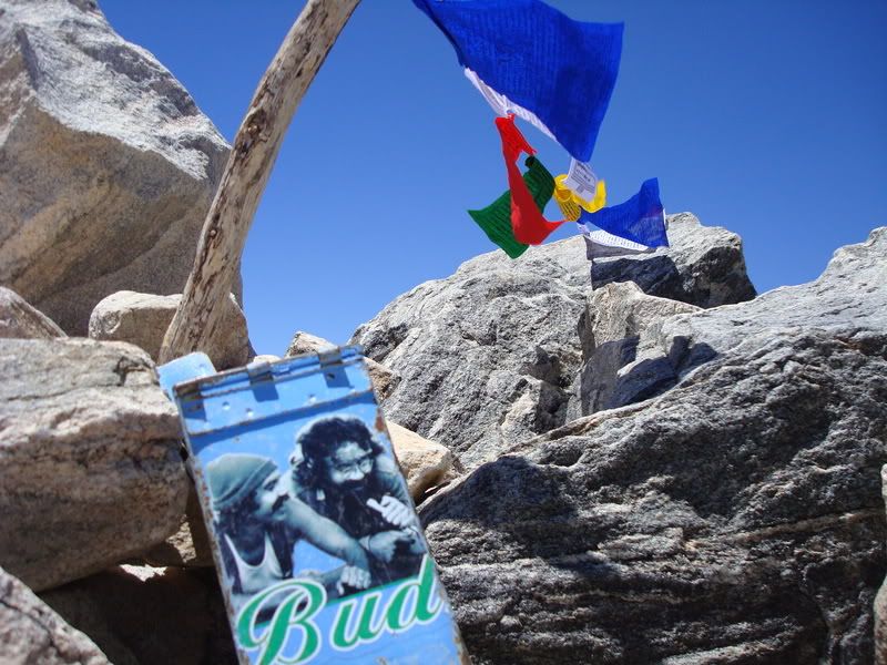
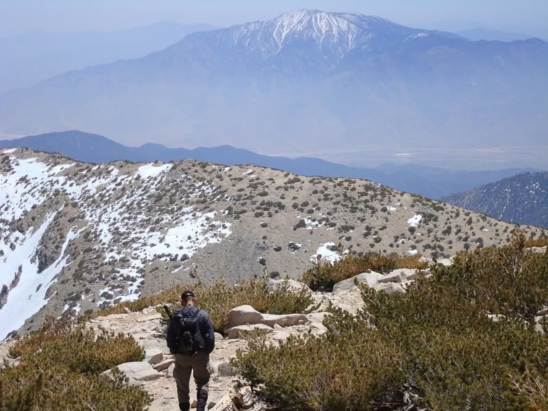
Friggin' sun formations (sastrugi?) were a BIG PITA, really annoying. We hit the ridge proper and avoided as much as possible. Did some scrambling on the ridge that overlooks the bowl between Jepson and San G (Big Draw?) with crampons on. Easy, fun, and not as crappy as the insanely crappy snow on the left of the ridge proper. Continued up, hit the top (like a big football field), and went to the summit. Busy-ish day, I reckon. Two Russians, two Rangers (friendly folks), some other guys, one with a rolly backpack and some sorta puzzlemaster jacket (like the bro's at Glamis wear). I removed the tattered American Flag from the summit, as it pisses me off to see my flag torn up. I now have a reason to come back, to replace it with a proper one with a real pole.
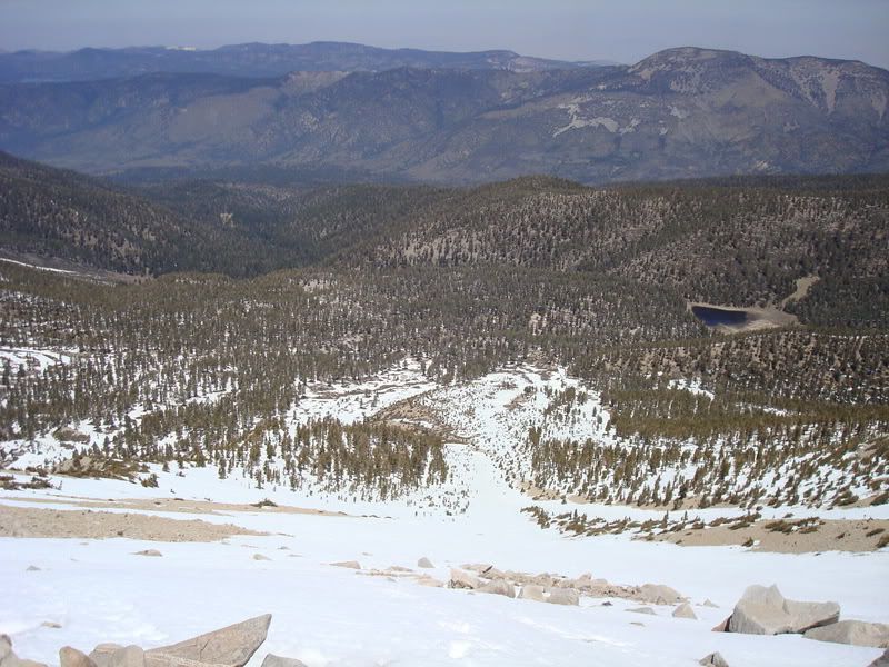
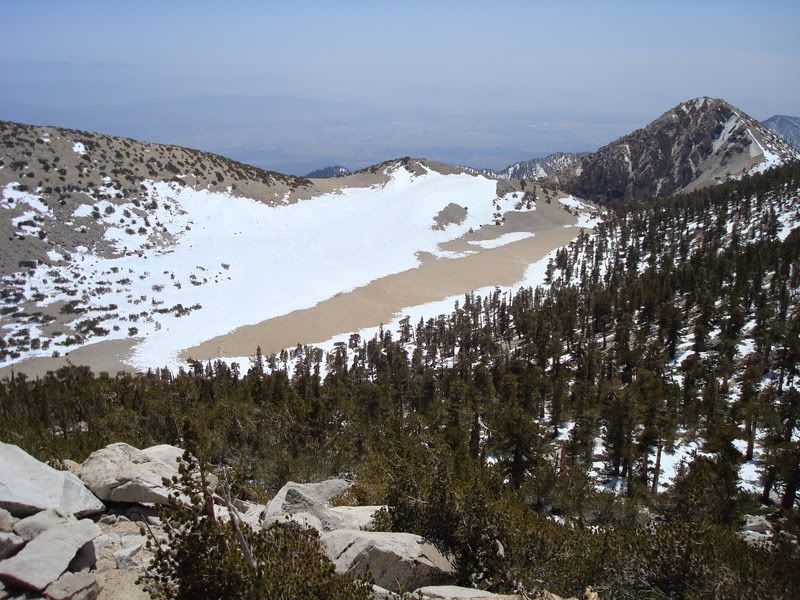
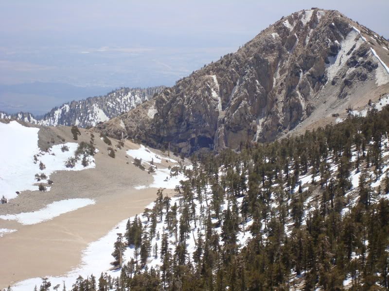
We went down the east side, and routefindededededed (route-found?) our way to... uh... more stuff. Followed the ridge, went down crappy snow, ended up doing a standing glissade WITH crampons, which was dandy but cautious. Went down into Mineshaft Flats or whatever (now known as either Manshaft (not mannschaft) or meatshaft flats... family friendly yes yes yes), and up to one of two saddles west of Lake Peak. Zippity zop, went down and moved to Lodgepole, then to Dry Lake, where the Rangers we met were talking to folks (in a friendly way). Had a good conversation with them. Took a quick break, broke down camp, and left Dry Lake at 7pm, arriving back at my wonderful Nissan Silvia S13 at 9pm. Supah-good speeduh!
Easy peasy. I don't care if I catch some sorta FlaK (Fliegerabwehrkanone, just the guns and not the projectiles? Sheisse!) for this, but San G seems like a really damn easy mountain. There are some nice looking areas on the Northeast Face (big stuff) that look a bit more fulfilling, but damn. WEAKSAUCE. Like a fat kid on a tricycle who just gave up with the stairmaster.
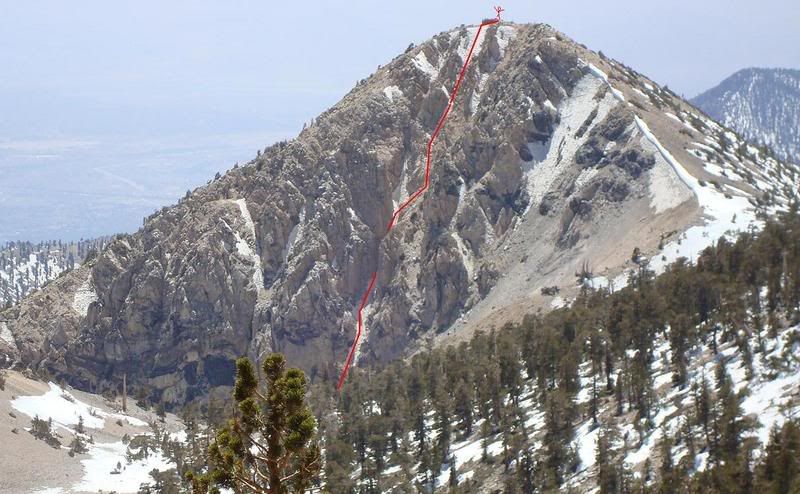
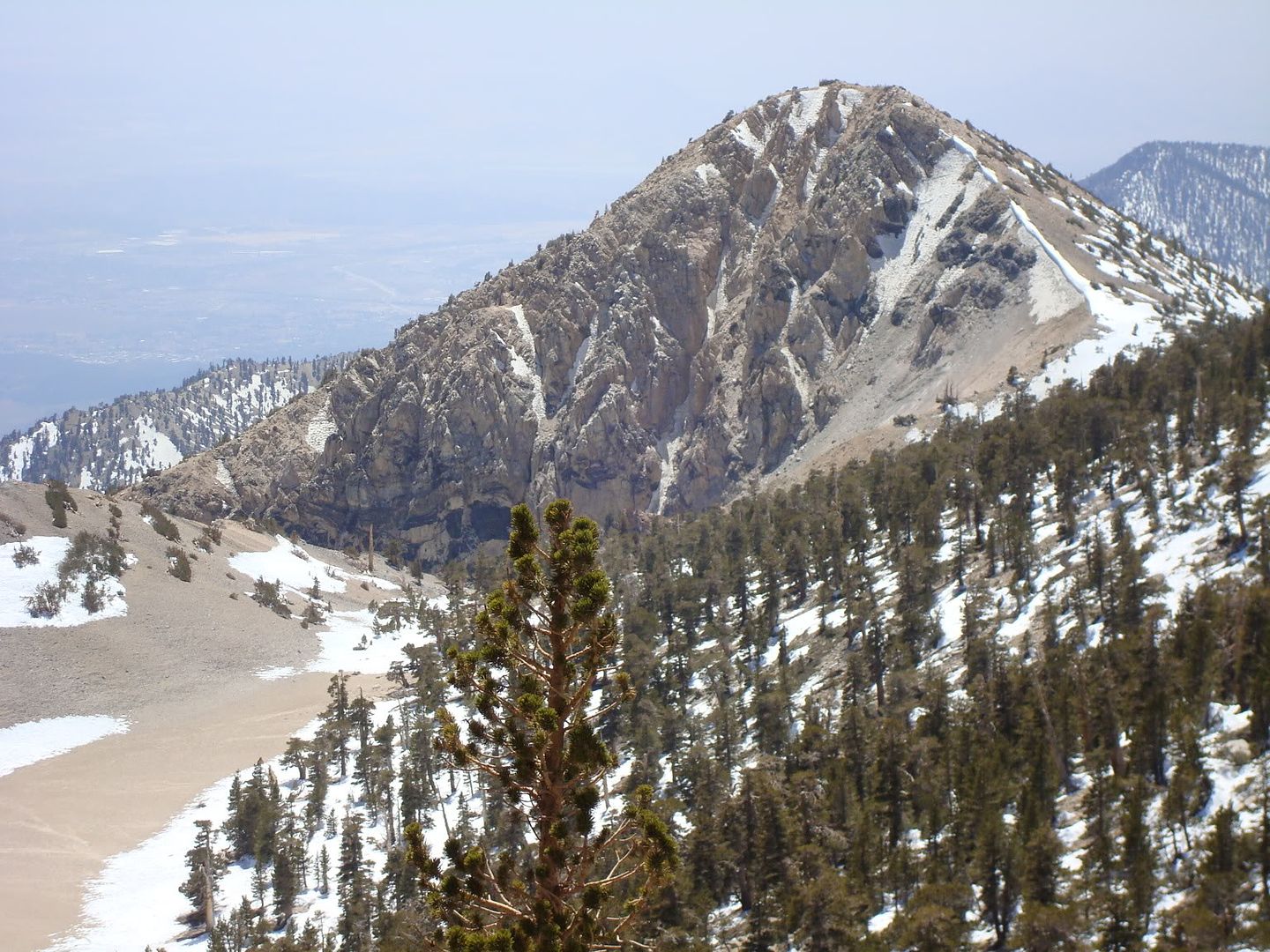
Dragons Head... now THERE'S a harder looking mountain.
And now for something completely different...


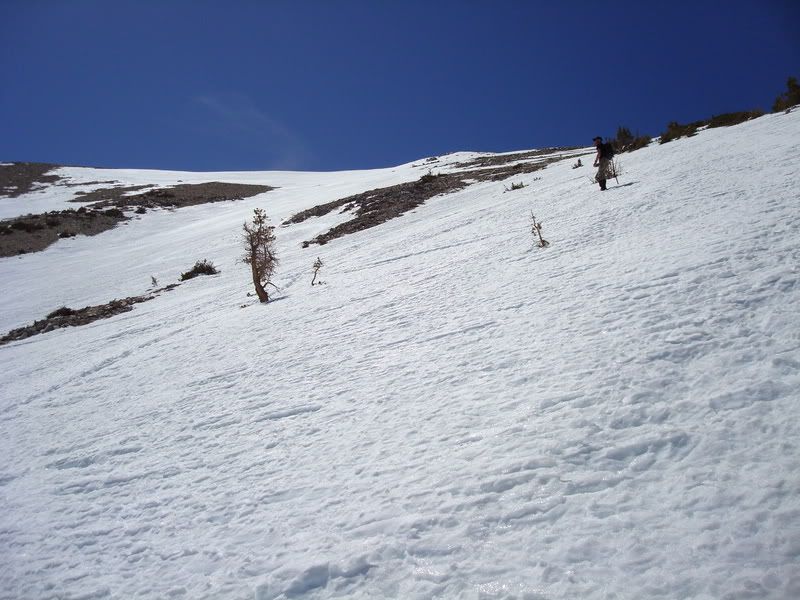
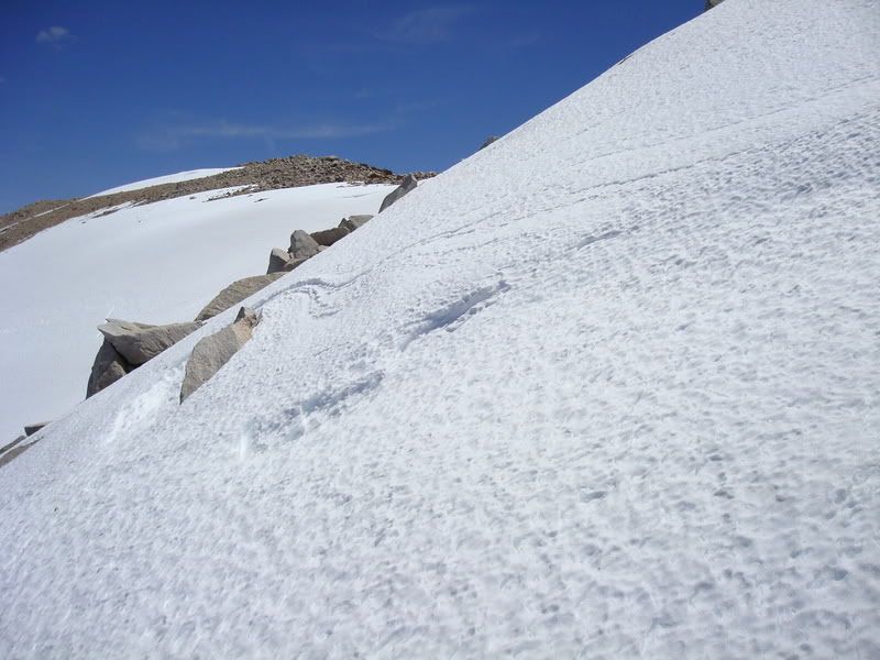
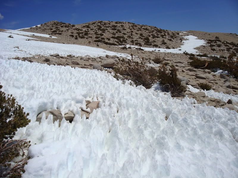
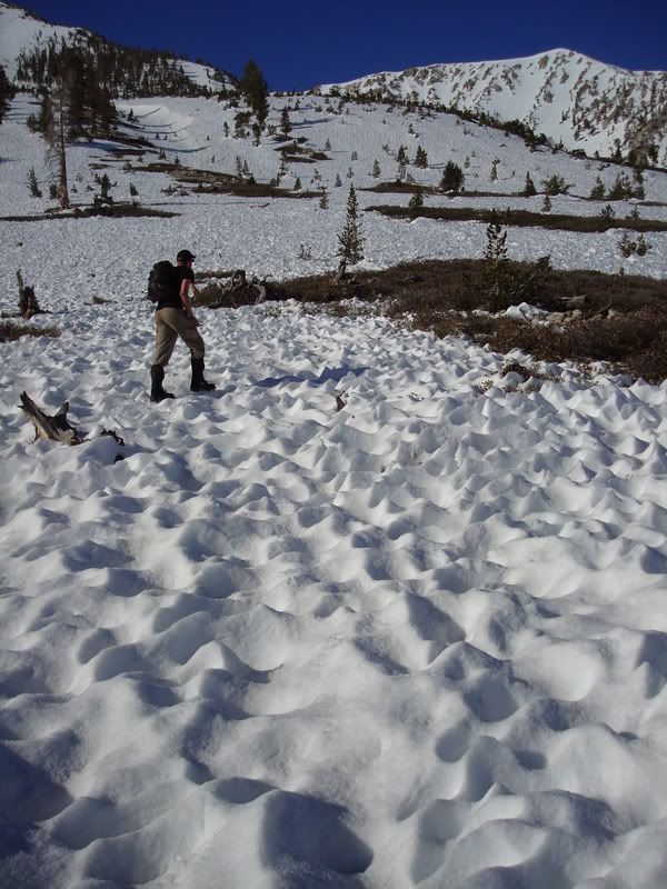 Suncups, then worse ..
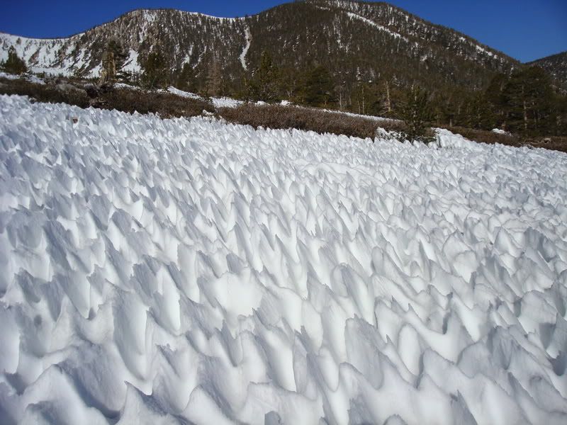

