Along the way we passed through the newly reopened trail in the Lake Fire Closure Area, and were able to view first-hand the devastation that resulted from the fire. At the moment, the Closure Area is still officially closed except for PCT hikers, and they are required to stay only on the trail, and to keep on hiking until they leave the area, as No Overnight Camping is allowed within the burn zone. Therefore, we had to plan our route accordingly.
We're also wimpy hikers, so our plan had to fit our eight-ish miles per day limit.
Water availability was a factor (yes, even during this wet year) as the first water source was twelve miles away, right in the middle of the closure area. So I decided to carry a gallon of extra water right from the start. Enough for dinner, breakfast, and four more miles of hiking the next day.
It should also be noted that this section has a high point of 8700 feet elevation and a low point down in the desert at 2200 feet. 6500 feet total, but spread out over 35 miles. Northbound "Through-Hikers" have no choice but to climb this relentless grade, whereas "Section Hikers" such as ourselves have the luxury of choosing whichever direction we want. This hike was a no-brainer. We'd be hiking downhill! Both ways!
Day 1:
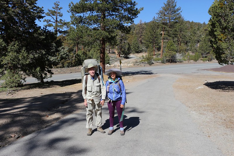
Vicki and I at Onyx Summit on Highway 38 (PCT mile 252)
Our son helped us with a car-shuttle. We left our car down at the Whitewater Preserve near I-10 and he drove us the long way around to the trailhead.
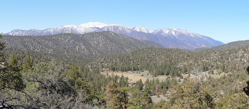
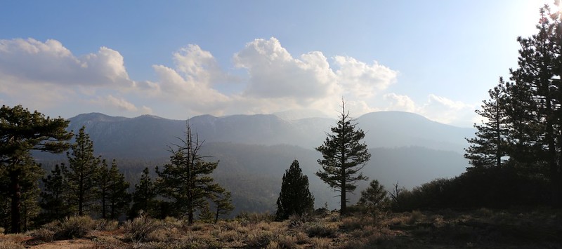
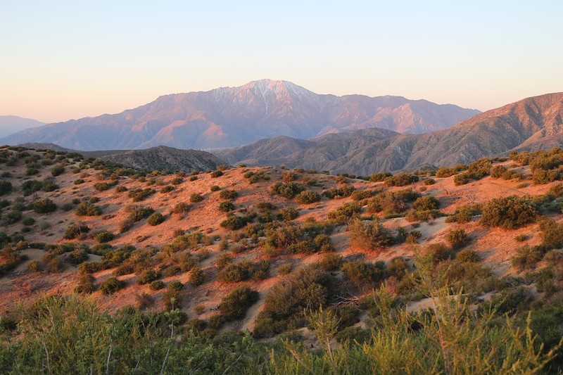
We had fine views of snowy San Gorgonio Mountain and its associated peaks
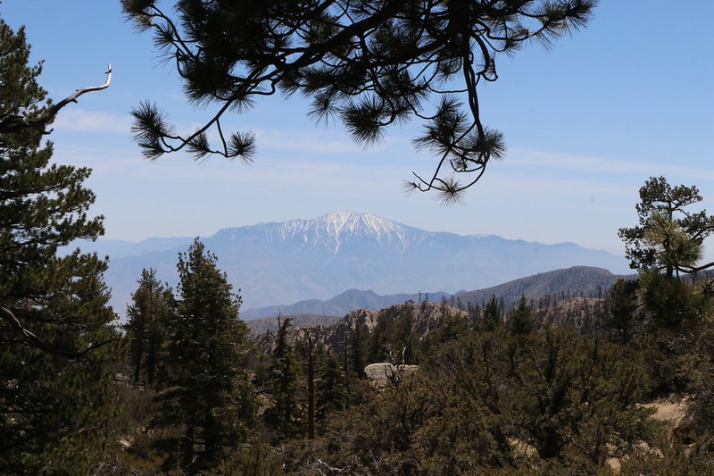
The PCT stays high and provided us with a view of San Jacinto Peak
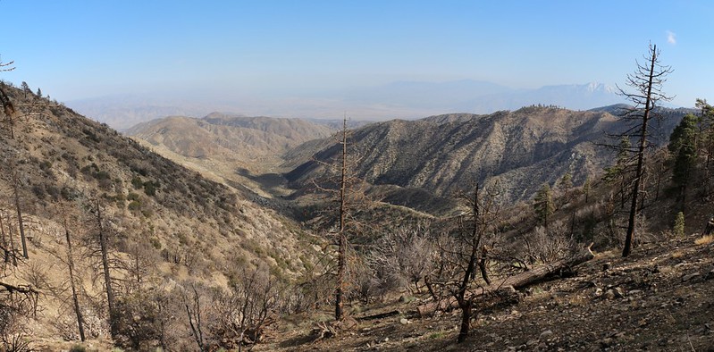
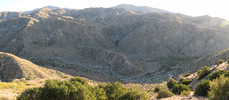
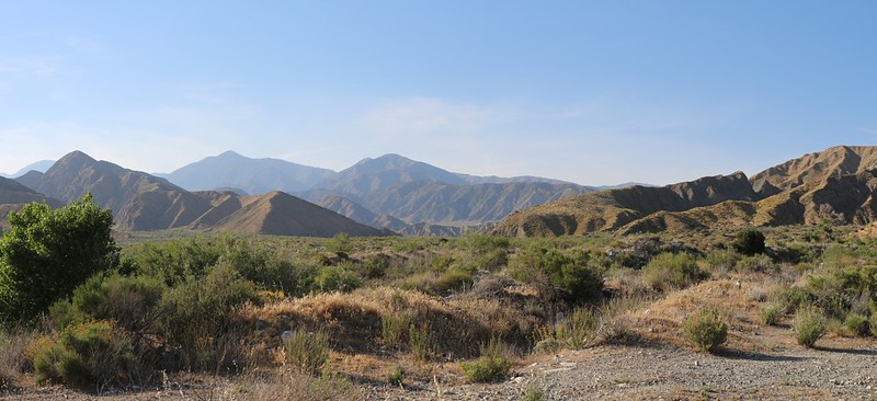
View southeast into the desert from the Coon Creek Jumpoff near mile 246
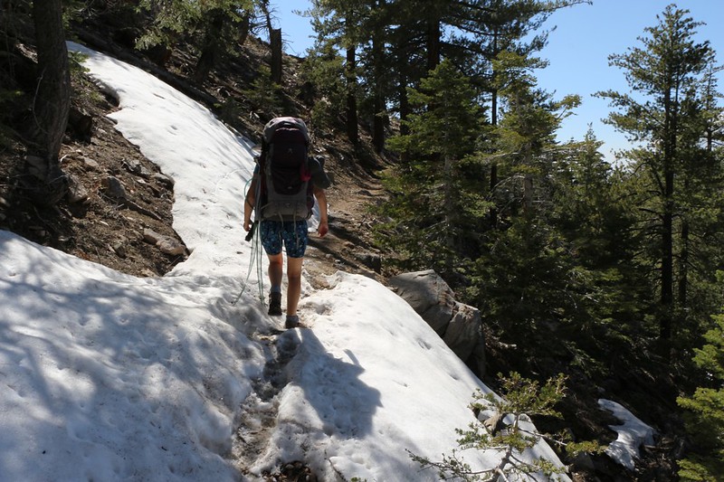
There were a few short stretches of soft snow on the north-facing slopes of the ridges
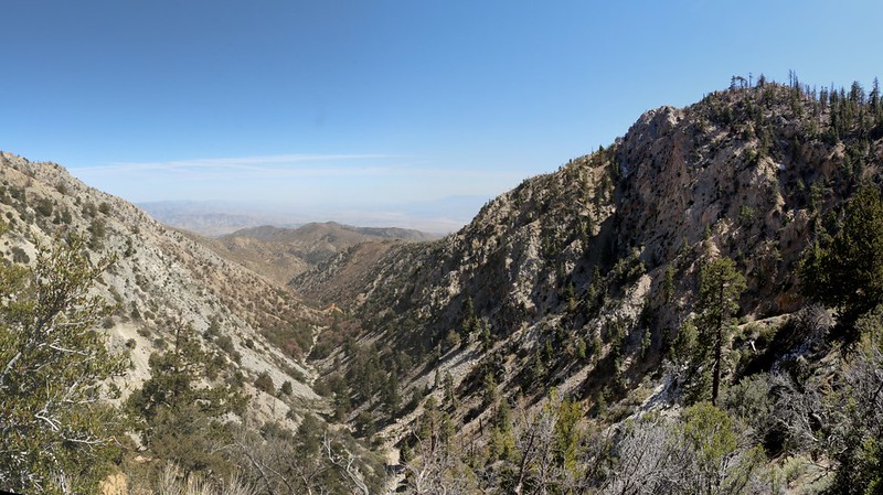
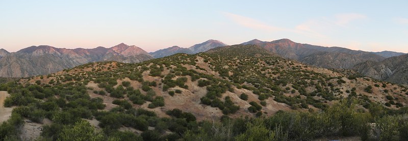
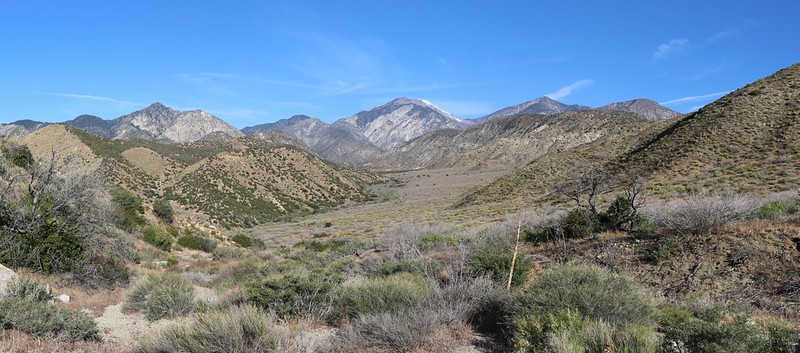
Panorama view looking down into the North Fork of Mission Creek.
We'd be hiking down that valley for the next two days. Meanwhile, up here on the ridge we had entered a short section of the burn zone, and the dead trees were sobering to see.
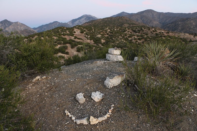
View of San Gorgonio from our campsite on the ridge above PCT mile 244
Planning to stay on this ridge was one of the few times that using Google's "Satellite View" truly paid off. It showed a lack of trees while the topo map indicated a rounded top. And the reality was that it was very flat and meadow-like up there.
See the Closure Area map on the Pacific Crest Trail Association's page. We camped on the tip of that long ridge to the northwest that is clearly outside of the burn area.
Special Bonus: We were able to see the Big Three from up there (SanG, SanJ, SanA). I even got cell signal! Check out the peaks on the horizon via the peakfinder.org website. (You should think about buying the PeakFinder Earth smartphone app: It's worth the $5. I use it on almost every hike that has a view. It uses your phone's gps, works offline, and gives you stats about nearby peaks. No affiliation, just a happy customer.)
When I originally planned this trip, I had hoped that the weather would favor us, that it would begin with a heat wave, followed by a cold snap. Why? Because of the 6500 feet of elevation change, which roughly equates to 20 degrees of temperature difference. I wanted it to be relatively warm up high and relatively cool down low. But Nature doesn't care about me. Not at all. Instead, the trip started with a cold snap and was predicted to end with a 90-plus degree Santa Ana event! At least we were forewarned, so we were able to bring the appropriate gear (thus adding to the weight of our packs).
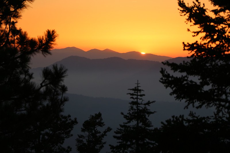
Sunset over Mount Baden-Powell, 60 miles away by crow and 120 by PCT. That's Baldy on the left.
As the sun got lower the air got colder, and we put on lots of layers, including hats and gloves. We ate dinner and had a hot drink. Then we dove into the tent and zonked out almost immediately. It had been a very long day.
Day 2:
The day began late. It was in the upper 30's and we didn't want to get up. We waited for the sun to hit the tent, which didn't take long up there on the ridge, and then we waited some more. But it couldn't last. We had to get moving or we'd never get anywhere. So we did.
Good-bye, campsite! Now it's time to visit the Burn Zone.
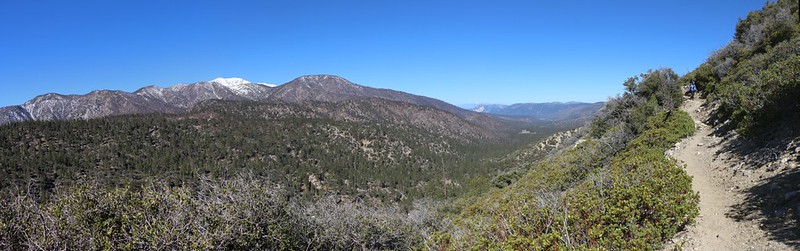
San Gorgonio panorama shot as we hike downhill to the Mission Springs Campground
We enter the Lake Fire Closure Area near mile 242
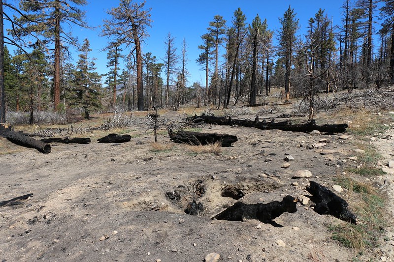
Here's a spot where the fire burned the dead roots below the ground
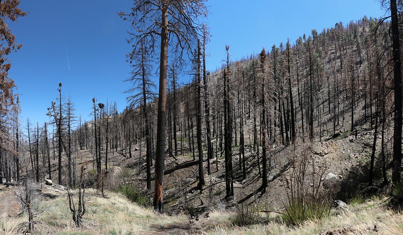
Some trees died but many lived, and nearly all had scorched bark
More dead pines and skeletal scrub
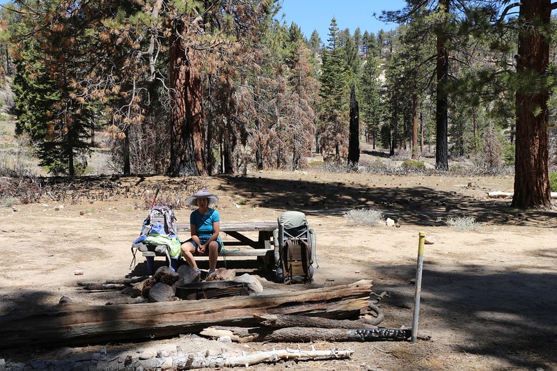
We stopped for a long break and a nap at the Mission Springs Campground.
The trees were OK here, and the picnic tables survived. We also filtered some water at the spring just south of the campground, which was running strong. Video of the water flow at Mission Springs
While relaxing, we met several groups of northbound hikers. I told them where to find the spring, and we talked the usual trail talk: That there was only a little snow on the trail, and that there were two small pools of water 10 miles away at mile 250, but the best bet for water was a whopping 16 miles further, so they'd better tank up now. They were so relieved to be finished with the bulk of the long climb that this news didn't phase them at all. They, in turn, warned us of some Poodle Dog up ahead near the campsite, and that there would be plenty of water in Mission Creek for the next fourteen miles, which was quite a relief.
Then it was time to get moving, as we still had five more miles to go to get to our camp at mile 235. Luckily, most of it was downhill, our favorite direction. We would end up with a net loss of 2500 feet of elevation that day.
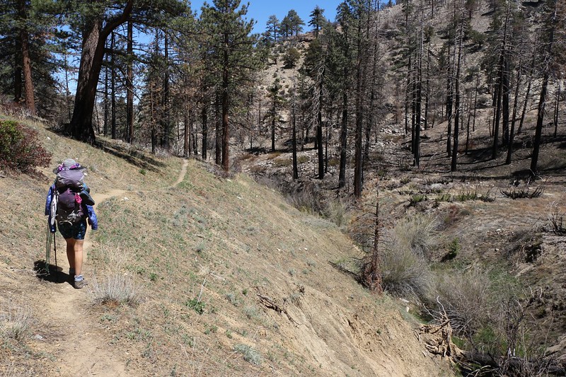
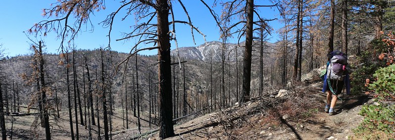
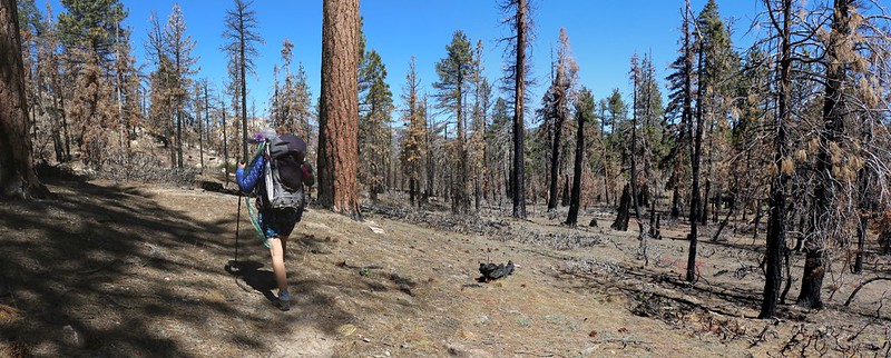
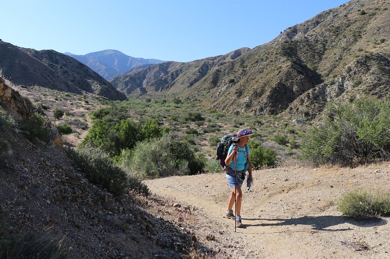
We begin our long hike down the North Fork of Mission Creek
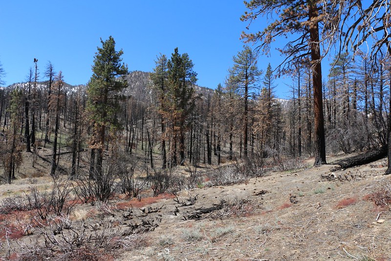
Miles of devastation along the creek

Skeletons of oak trees. But note that each one has green shoots at the base!
The roots of the oaks didn't die, as it was part of their survival strategy. We were sad that the pines didn't use this method, but we also knew that many pinecones release their seeds upon roasting. It was still too early to tell if there were any new pines growing in the burn zone.
We reached the end of the closure area shortly after mile 238. It was easy to tell: There were green trees and bushes everywhere. It was a relief to hike in "normal" terrain, complete with occasional shady spots, but the sad truth was that there weren't many trees down there to begin with. That's partly why the fire stopped burning - a lack of fuel.
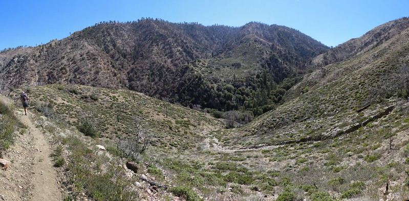
Panorama shot of Peak 8191 across the way as the trail stays high above the creek
We cross a ridge and prepare to descend into the side valley where PCT camp WRCS0235 is located
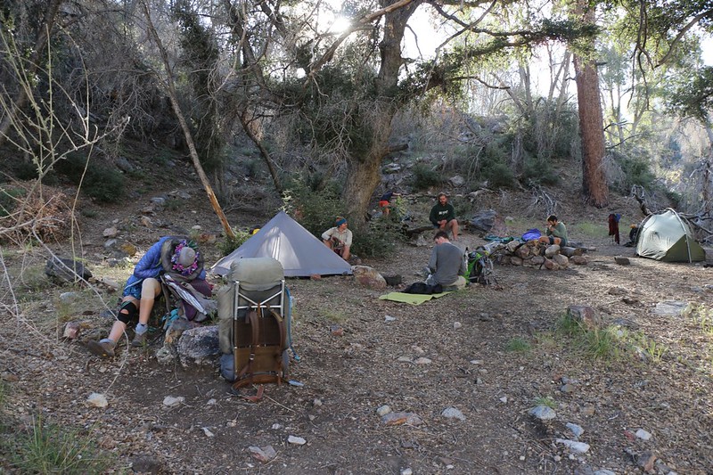
The campsite was already full with a group of young PCT Through-Hikers
I walked a bit further and found an isolated spot for our tent. We don't hike into the wilderness to hear other people yakking and snoring. We also had plans to get up early, before dawn, as the temperature was predicted to begin climbing the next day, and the youngsters looked like late-risers to us.
We filtered some water from the creek, ate dinner, and went to bed before sunset. It had been an interesting day, albeit a sad one, hiking through the aftermath of the Lake Fire, and we were relieved to put it behind us.
Day 3:
We had the alarm set for 4:30am, and even though we were a bit slow to get moving, we still managed to eat breakfast, have a cup of hot chocolate. and pack our gear by the time dawn arrived at six. It was cool outside at 6000 feet elevation, just about the perfect temperature for hiking. Today's hike was destined to be about nine miles long with a drop of 3000 feet, the trail spending the entire time down in the valley alongside the creek. Easy hiking, in other words.
We weren't expecting much, view-wise, because you have to be up high to get a decent vista. So our goal was a modest one, to spend the day enjoying the multitude of plants that frequent a watercourse, and to appreciate the canyon that the creek has carved over the millenia. If we decided to enjoy a few extra rests and naps along the way, well, that was our business. That's one of the perks of getting up so early.
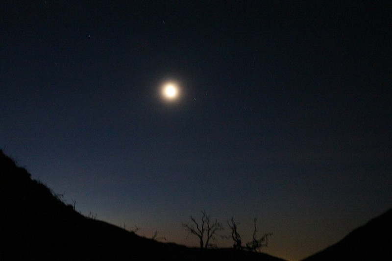
It doesn't look it, but that's a crescent moon up there.
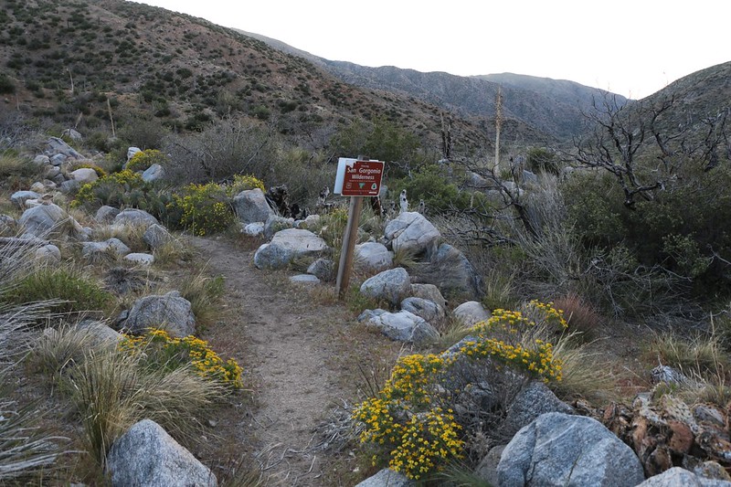
Wildflowers were blooming as we entered the San Gorgonio Wilderness
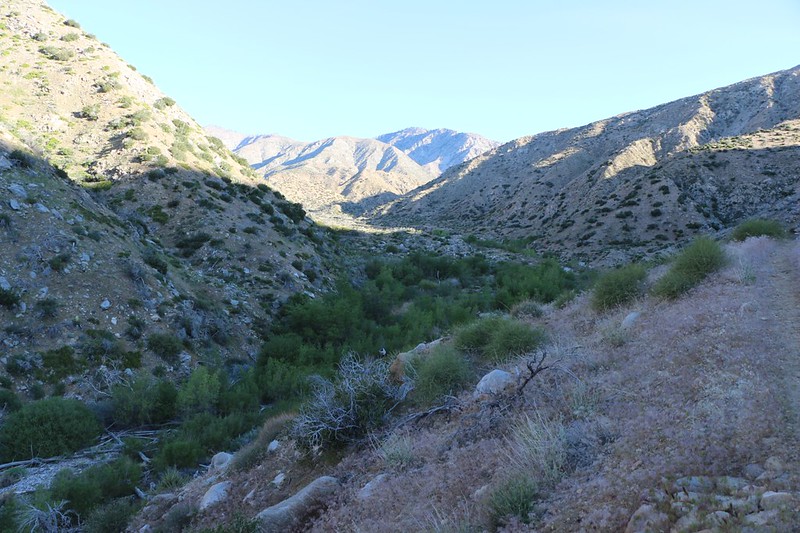
Looking back upstream. We hiked in the shade as the trail stayed on the east side of the creek, at least initially
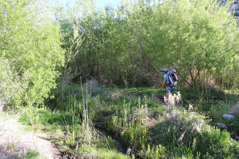
It's lush down in the creekbed with plenty of willows and cottonwoods. This is one of about a dozen creek crossings
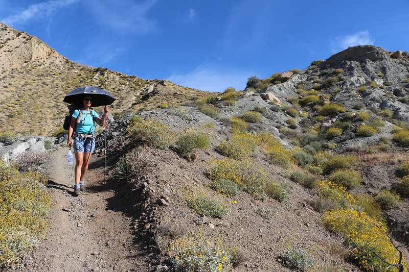
We stopped for a rest in the shade at the day's halfway point, at mile 230
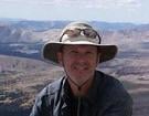
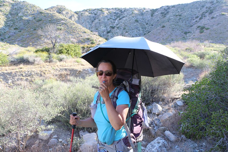
Vicki was using her new "Chrome Dome" backpacking umbrella to block the sun. She figured out a way to mount it to her backpack at the correct height and angle, so it worked fairly well. Until low-hanging trees and bushes narrowed the trail. And until the afternoon breeze began to kick in strong. Those are the drawbacks of an umbrella. But when there's a breeze you don't really need it, and the brush was only present at creek crossings. We saw a number of PCT hikers carrying them, for use in these low-altitude desert sections. Was it worth forty bucks and eight ounces? Maybe. As for me, I'll stick with my wide-brimmed hat.
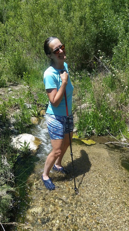
Vicki cooling her feet in the creek. Aaahhh!
We could have jumped across, but this felt great on our hot sweaty feet. Totally worth it!
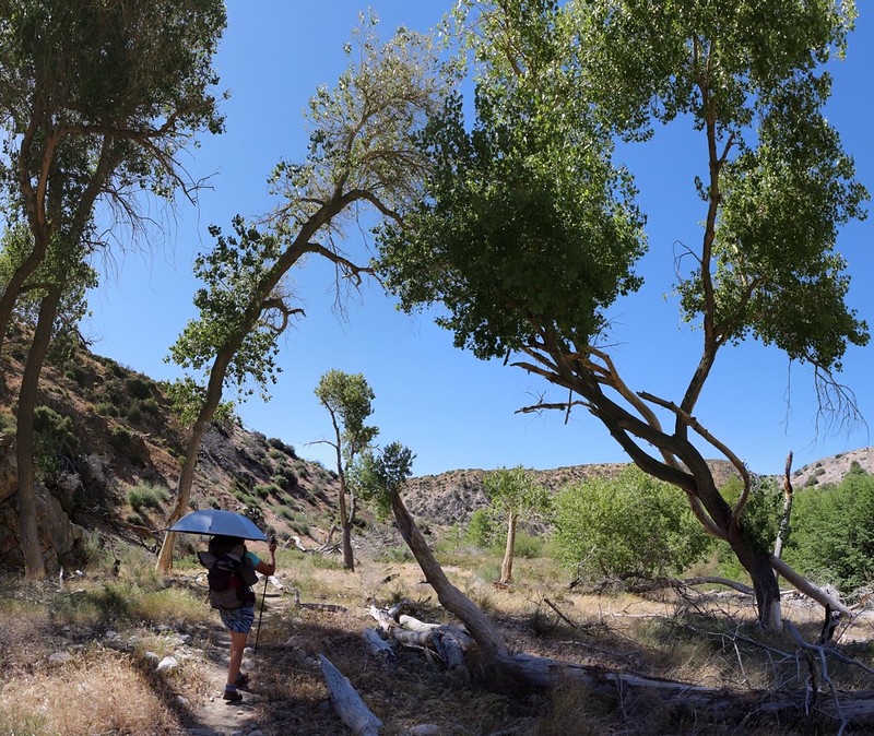
A mile or so later, we took yet another long rest in the shade of a tall tree near the creek. There was soft deep sand, and it was perfect for napping. We were truly in no rush. It was the hot part of the day, and we'd made such good time earlier that we didn't mind sitting and waiting out the heat. A gentle breeze was blowing. The temperature was almost eighty, so it was hot in the sun but perfect in the shade.
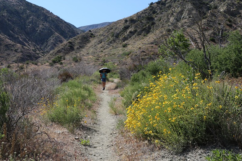
Yellow desert wildflowers were blooming all along this section
We continued a half mile beyond the large campsite at mile 226, where we almost stopped for the day
We decided to get a bit further before dark, because, once again, there were already several people camping there. So we left the "official" campsite behind. We like our solitude.
We had reached the end of the North Fork of Mission Creek, PCT-wise, and at this point the trail made a sharp turn, up and out of the canyon toward the west. It climbed 600 feet to a high ridge, then gradually dropped 1000 feet, down into the Whitewater River valley.
Our chosen camping spot was right at the base of the climb, and our plan was to wake up super-early and ascend to the ridge before dawn. We really had to wake up that early, as tomorrow was predicted to be in the mid-nineties! Why? Because, unfortunately, Vicki's body has poor temperature regulation, in that she doesn't sweat properly, and heat stroke was a real possibility. We were hoping to crank out the next six miles before 10am, then chill out in some shade near the river during the heat of the day. That was the plan. Executing it was up to us.
So we set up camp, ate dinner, and set the alarm for 3:45am.
Day 4:
Amazingly enough, we actually got up at that time. We decided not to bother with a cooked breakfast; we simply ate some snack and packed as efficiently as possible. And we managed to start hiking by 5am, walking in the pre-dawn darkness with our headlamps lighting the way. It was cool and peaceful and beautiful as we climbed high above the valley.
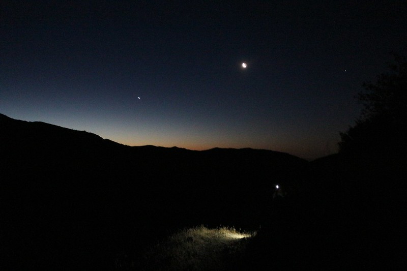
Hiking up the trail via headlamp
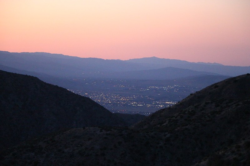
The lights of Desert Hot Springs appear as we gain elevation
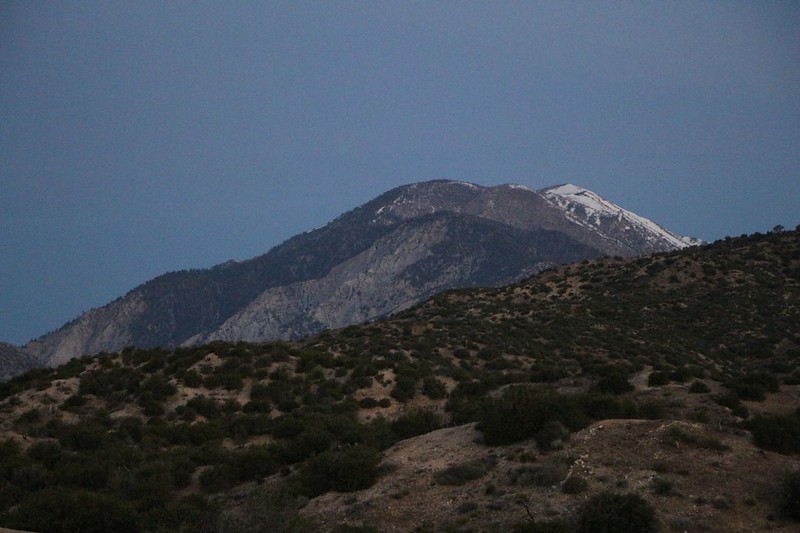
Bighorn Mountain and snowy San Gorgonio come into view (zoomed-in photo)
We reached the top of the climb and took a break on the ridge just before the sun's light hit us. Perfect timing!
Panorama view north to SanG as the sun rises on the nearby peaks
San Jacinto Peak in the morning light to the south
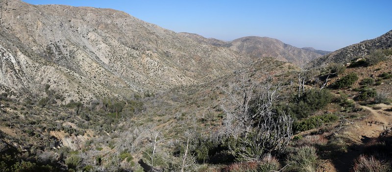
Looking back down into the North Fork of Mission Creek from high above on the ridge
The trail wandered along the top of this ridge for a couple of miles, in typical meandering PCT-like fashion. But I'm not complaining! After the previous day's dismal lack of views this ridge-top action was excellent. We could see all over the place! And, after all, this was called the Pacific CREST Trail, not the Boring Valley-Bottom Trail.
I even managed to get cell signal when Desert Hot Springs came into view, so I squirted out a text to the kids to let them know that all was well. It's not likely that they cared or were worried about us, but I did it for form's sake, as an example, to show them what we wanted them to do when off in distant places. But I doubt they learned anything. Kids.
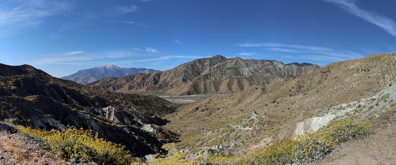
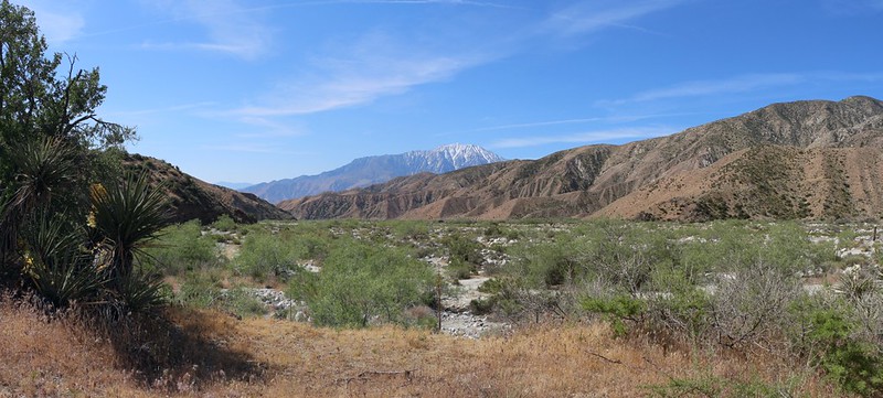
View of the West Fork of Mission Creek and San Gorgonio Mountain as the PCT descends off the ridge
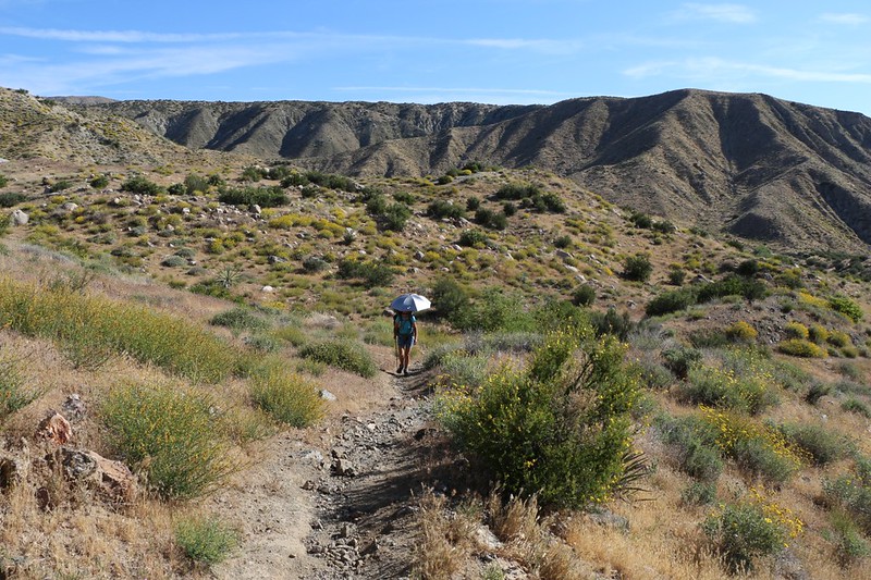
Vicki has her chrome umbrella deployed. It's only 8am but already very hot in the sun
Yellow wildflowers are blooming everywhere as we climb up and over a small ridge
We had to climb about 200 feet to exit the valley of the West Fork of Mission Creek. After we crossed this final ridge we would be rewarded with 500 feet of easy downhill hiking to our eventual resting spot on the Whitewater River, but first we had to suffer in the heat. 200 feet doesn't sound like much, here in this report, but let me tell you: It was one seriously hot climb in the blazing sun. Vicki was starting to wilt.
I realized that this was the time to bring out our Secret Weapon.
We hadn't only brought an umbrella to help Vicki with the heat. Oh, no. I had also purchased a professional-quality spray bottle (with adjustable spray head) that held a liter of water. Since Vicki's body didn't sweat properly, I reasoned that the addition of "Artificial Sweat" (TM) would serve the same purpose.
And it worked great! Every minute or so she would spray her face, or arms, or legs, with water. In the dry desert air it was incredibly effective. I even stood happily by as she doused my shirt and pants with a coating of water. The cooling it provided was fantastic. It was probably the best $3.78 I ever spent. It was that good.
We met other Through-Hikers heading north in the heat, and Vicki sprayed them as they walked by. They all, without exception, said "Aaahhh!" and "Thank you!" She was having a great time with this thing. And she was hiking well, and staying happy. That's all the proof I need.
We crested the ridge and saw a beautiful wildflower-filled panorama of the Whitewater River Valley below us. Superblooming!
Happy Vicki holding her water sprayer as we continue downhill
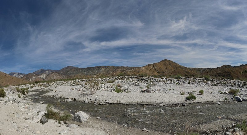
San Jacinto Peak to the south as we prepare to cross the broad sandy wash
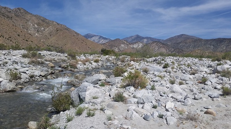
Looking north up the Whitewater River Valley
Of course, with a bit of searching we could have found a way across the river by rock-hopping, but we didn't want that at all. Our feet were roasting hot, and they wanted to feel that cold water more than anything else. So we stopped and put on our water shoes and crossed. I even walked down the river as my feet grew numb with cold. Video of the Whitewater River
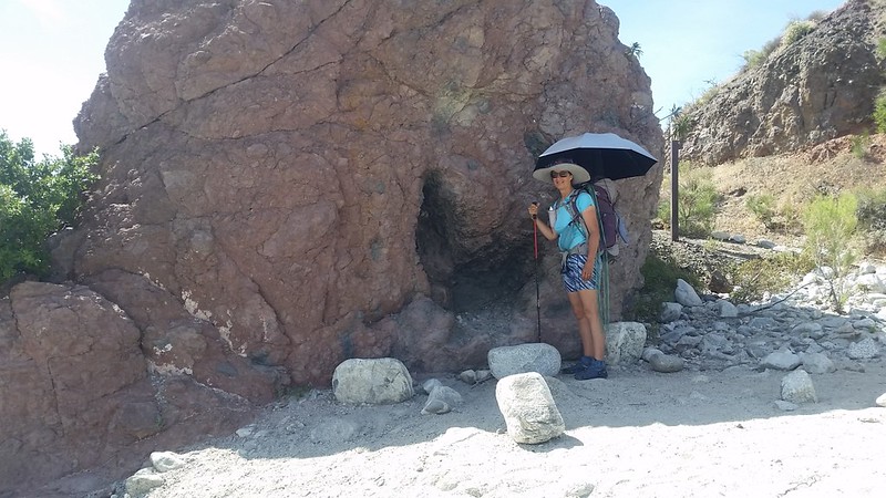
We stopped in some welcome shade just a few feet away from the river
We hung out at this cool spot for about an hour, until the sun's angle changed and the shade started shrinking. Then we shifted about twenty feet to the west, up against a rocky wall which promised softer sand and deeper shade that would only get better as the day wore on.
This was our view looking north and east from our siesta spot
We took a VERY long siesta. About seven hours total. We arrived at 10am and didn't leave until 5pm! The air temperature rose into the nineties but we didn't care as we weren't hiking in the sun. We listened to the water in the river, and took a couple of naps. We read our books and ate our lunch and snacks. Life was good.
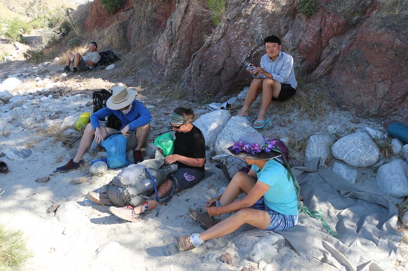
We met several PCT 2017 Through-hikers whose trail names were Sticks, Jumper and Park
We hung out with them for quite a while, and had fun talking about trail conditions. We admitted that we were jealous of them and fondly imagined a life on the trail, with its simple concerns and lack of stress. Our jobs and mortgage felt like shackles to us.
And they were shackles. Because all too soon we felt the first breath of cooler air, and we knew that our trip was coming to an end. It was time to pack up our gear and return to the car, to rushing traffic, and to that millstone of a house with its nagging monthly payments.
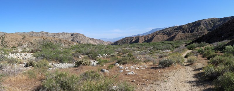
We had two more miles to hike, directly down the valley to our car
It was still roasting hot, so we used the water sprayer on each other the entire way. We even sprayed the tops of our boots, and it worked wonders keeping our feet cool.
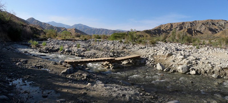
A wooden bridge crosses the Whitewater River on the Whitewater Preserve Trail
Looking back north up the Whitewater River Valley
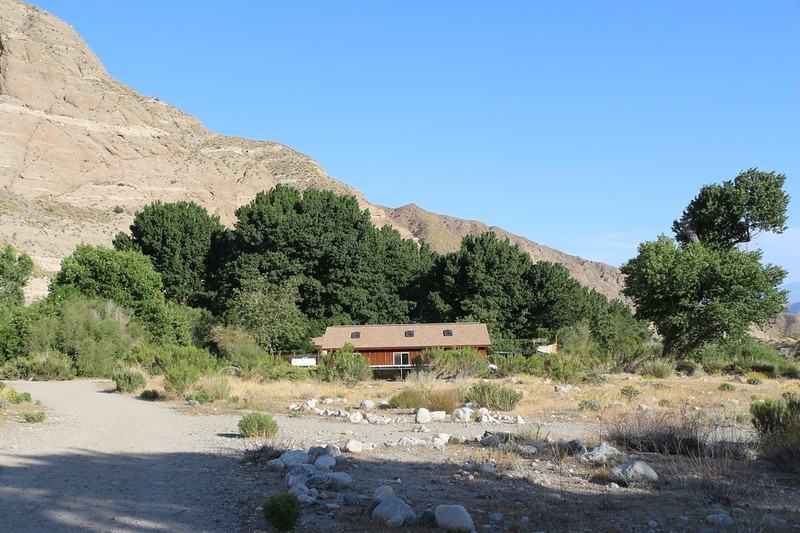
We finally arrive at the Whitewater Preserve, an oasis in the desert, with lawns and ponds and trees
We started the car and moved it into the shade of a huge cottonwood. We relaxed and cooled off for a while with the air conditioner running. We changed our shoes and socks. We stretched a bit and had some drinks and salty snacks that we'd left in the trunk. We even read our books for a while.
Let's face it: We were in no rush to get home. We'd been infected with the PCT disease, and we were already making plans for our next trip. This hike had finished off our last major chunk of Section C, and we'd already completed Sections A and B, so the next obvious place would be Section D: The San Gabriel Mountains. Thoughts of future hikes would have to sustain us as we made the long drive back home.
Ultra-long mega-verbose Trip Report on my website for those with plenty of time.
Lots more photos and videos on my Flickr Album Page for those with limited time.
CalTopo Map of the hike.